

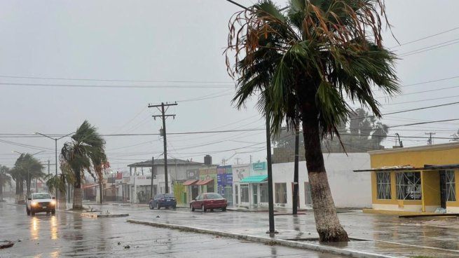
Tropical Storm Lorena formed this Tuesday in the Pacific Ocean and will make landfall in Baja California Sur in the coming days at that strength, so state authorities are already on alert. In this article, check the exact day and time of the expected impact, as well as the affected municipalities.
According to the National Meteorological Service (SMN) early Monday morning, the center of the system continues to move west-northwest, near the western Pacific coast of Mexico. Its cloud bands will cause very heavy rainfall, strong wind gusts, and high waves in Jalisco, Colima, and Michoacán.
Lorena, according to forecasts, will strengthen to a Category 1 hurricane in the coming hours, but its center will impact the coast of Baja California Sur as a tropical storm. Below are all the details.
When and where Hurricane Lorena will hit Baja California Sur
The National Meteorological Service (SMN) published the trajectory of Hurricane Lorena and predicted that it is expected to make landfall in Mexico, specifically on the coast of Baja California Sur, on Friday, September 5, 2025, at 6:00 a.m. According to experts, it will make landfall like a tropical storm.
According to the 3:00 p.m. report from the National Water Commission (Conagua), Lorena, a Category 1 hurricane on the Saffir-Simpson scale, continues to intensify, parallel to the coast of Baja California Sur. Its center was located 255 kilometers (km) west of Cabo San Lucas and 220 km (130 mi) from Cabo San Lázaro, both towns in Baja California Sur, with maximum sustained winds of 130 kilometers per hour (km/h), gusts of 160 km/h, and moving northwest at 24 km/h (15 mi).
A tropical storm warning zone is in effect from Santa Fe to Cabo San Lázaro, and a tropical storm watch zone is in effect from Cabo San Lázaro to Punta Abreojos, and from Cabo San Lucas to Santa Fe, all in Baja California Sur.
Source: ambito


